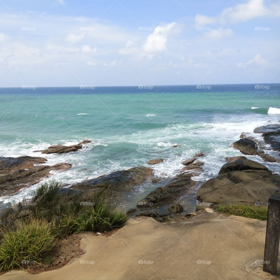
Tanjung Simpang Mengayau or Tanjung Simpang Mangazou, also known as Tip of Borneo in English is the northernmost part of Borneo located in Kudat district, in the state of Sabah, Malaysia. It is a meeting point of the South China Sea and the Sulu Sea. The Tanjung has been developed as a tourist attraction. A square shaped garden was built by placing a Malaysian flagpole and a large bronze globe. The bronze globe marks the location of Tanjung Simpang Mengayau at an latitude of 7 degrees north and longitude 116 degrees east with a map showing the island of Borneo is popped up and placed on a flat surface at an angle with the inscription to mark the Borneo Map. Tanjung Sampang Mengayau also serves panoramic views when the sun starts to rise and the sun sinks to tourists.

Tanjung Simpang Mengayau or Tanjung Simpang Mangazou, also known as Tip of Borneo in English is the northernmost part of Borneo located in Kudat district, in the state of Sabah, Malaysia. It is a meeting point of the South China Sea and the Sulu Sea. The Tanjung has been developed as a tourist attraction. A square shaped garden was built by placing a Malaysian flagpole and a large bronze globe. The bronze globe marks the location of Tanjung Simpang Mengayau at an latitude of 7 degrees north and longitude 116 degrees east with a map showing the island of Borneo is popped up and placed on a flat surface at an angle with the inscription to mark the Borneo Map. Tanjung Sampang Mengayau also serves panoramic views when the sun starts to rise and the sun sinks to tourists.

Photo by putricitra

Royalties free, Commercial & Editorial use

$10.00

Rating: 4.55  out of 5  based on 11 user ratings.

Stock photo: Tanjung Simpang Mengayau or Tanjung Simpang Mangazou, also known as Tip of Borneo in English is the northernmost part of Borneo located in Kudat district, in the state of Sabah, Malaysia. It is a meeting point of the South China Sea and the Sulu Sea. The Tanjung has been developed as a tourist attraction. A square shaped garden was built by placing a Malaysian flagpole and a large bronze globe. The bronze globe marks the location of Tanjung Simpang Mengayau at an latitude of 7 degrees north and longitude 116 degrees east with a map showing the island of Borneo is popped up and placed on a flat surface at an angle with the inscription to mark the Borneo Map. Tanjung Sampang Mengayau also serves panoramic views when the sun starts to rise and the sun sinks to tourists. was taken by putricitra .